Summit Terragraphics Releases the First 3D Topographic Map of New Hampshire’s White Mountains Since 1872

Martinsburg, WV (PRWEB) May 14, 2014 -- Summit Terragraphics, creators of 3D topo maps, recently announced the release of the first new raised relief map of New Hampshire’s White Mountains in more than a century.
“We know that a vintage raised relief map of the White Mountains, made in 1872 out of pressed paper, sold at auction for a little over $1,000 in 2010,” said Summit founder Mike Higgins. “But as far as we’re aware, our latest product is the only raised relief map available today that’s focused specifically on the New Hampshire 4000-footers. In fact we created it because of a strong push from hikers and “peak baggers” who contacted us to request it after seeing our 3D Colorado Rocky Mountains map. We were happy to have the opportunity to add another unique location to our lineup of 3D wall maps.”
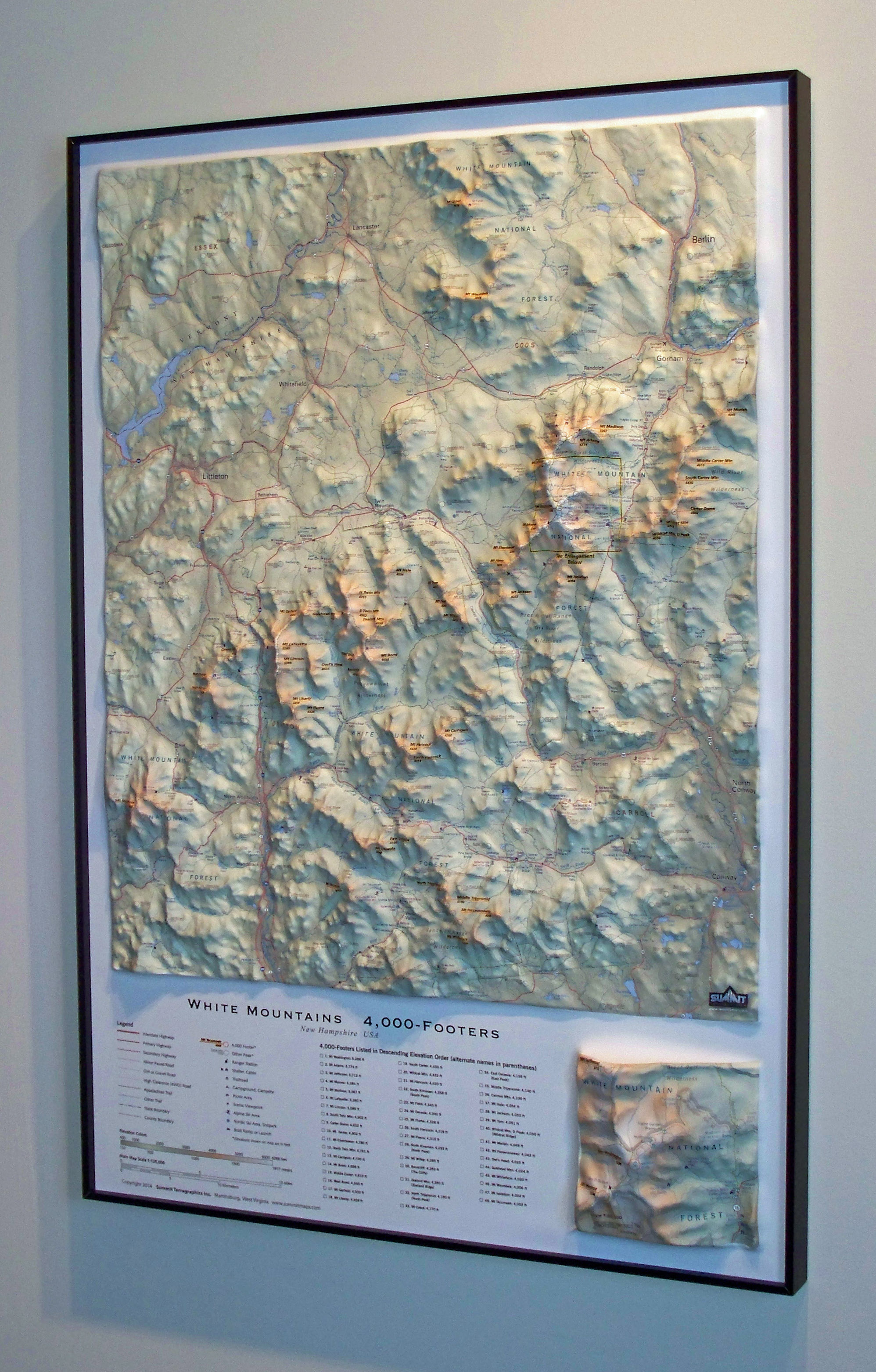
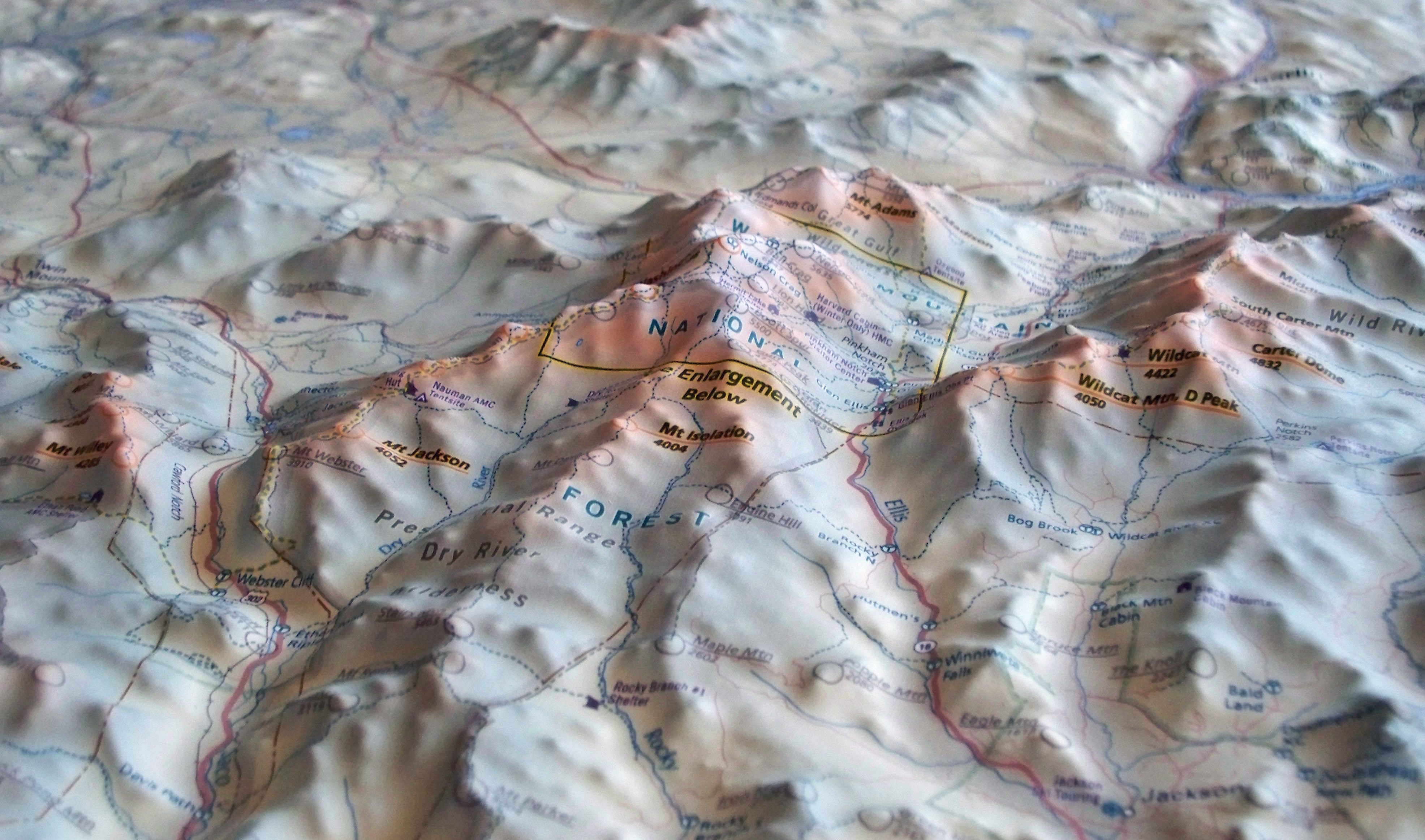
Summit’s White Mountains map is an elevation-based illustration printed on a sturdy plastic sheet. That 2-dimensional map is then thermo-formed using a proprietary technique to conform to a detailed terrain model, creating a precisely molded 3D map.
Each of the 48 4000-footers is labeled, as are hundreds of lower peaks, trails, shelters, trail-heads, key geographic features, roads, creeks/streams/ponds, and other landmarks. In the corner of the 32” x 22” map is a small 3D inset map that shows a close-up of the Mount Washington peak. Available framed or unframed, the White Mountains map is priced from $39.95 on Summitmaps.com and is available through select retailers.
ABOUT SUMMIT TERRAGRAPHICS
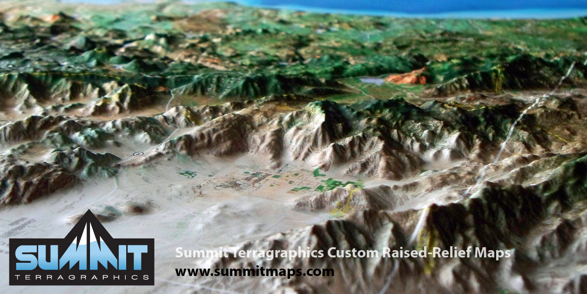
Located in rural West Virginia on the banks of the Potomac River, Summit Terragraphics offers a variety of raised relief maps for outdoor enthusiasts and national park lovers using both aerial/satellite imagery and illustrated maps. They also offer a line of 3D FAA sectional charts that are popular with mountain pilots.
Increasingly, the company is becoming known for large custom maps created for national parks, associations, corporations, museums, the military, and occasionally for private landowners. Summit can also develop variations of existing maps with custom graphics, annotations, and branding. For more information, contact Michael Higgins.
Michael Higgins, Summit Terragraphics, http://www.summitmaps.com, +1 304-274-0978, [email protected]
Share this article