Worldwide Transportation Library to Visit Strait of Gibraltar

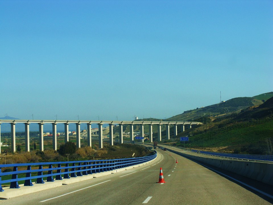
San Francisco, CA (PRWEB) August 11, 2014 -- The Worldwide Transportation Library (WWTL, http://wwtl.info) today announces a photography tour at the Strait of Gibraltar. This September, the WWTL will visit the surrounding lands administered by Spain, the UK, and Morocco to study the varying degrees of economic interdependence through their regional roadways, ferries, and border checkpoints. As part of this study, photographs and videos will be taken on-site at Gibraltar, Tangier, and Ceuta.
All content captured from this tour will be exclusively shared on the WWTL website. Each new photograph will be accompanied by contextual data including GPS coordinates, distance charts, and factual trivia about nearby cultural landmarks. All captures will be made available to the public by October.
"This certainly isn’t our first cup of tea at the Strait of Gibraltar," states Carl Rogers, owner of the Worldwide Transportation Library. "We previously surveyed the Spanish exclave of Ceuta and got a small taste of how internationally relevant the Strait is. Across the horizon we saw the Rock of Gibraltar, rising majestically through the clouds. This September, the WWTL intends to survey the roadways leading from Gibraltar to the tip of southern Spain. From there, we will cross the strait into Tangier and revisit the Moroccan coast to outline which transportation systems provide socioeconomic benefits to diverse groups of African and European peoples."
Today, with six continents worth of highway and railroad captures, the WWTL caters to tourists who map their own travels. Their website also serves as a web-resource for viatology (i.e., the scientific study of roads), showcasing an expansive slideshow of photographs, videos, and full-circle panoramic vistas. As a global supplier of media, the WWTL also offers translations in French, German, Italian, and Spanish.
Carl Rogers, WWTL, http://wwtl.info, +1 (201) 676-0185, [email protected]


Share this article